
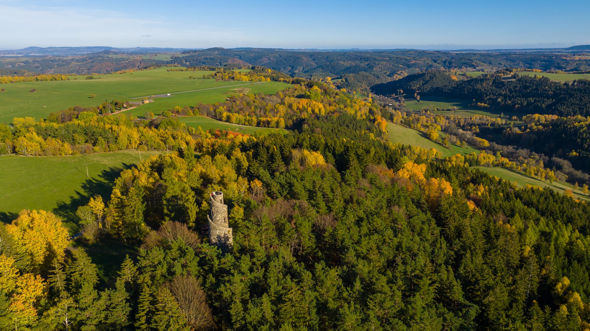
Krásno Lookout Tower
The Krásná Lookout Tower is one of the most beautiful in the Czech Republic, a distinction it likely owes to its charming shape.
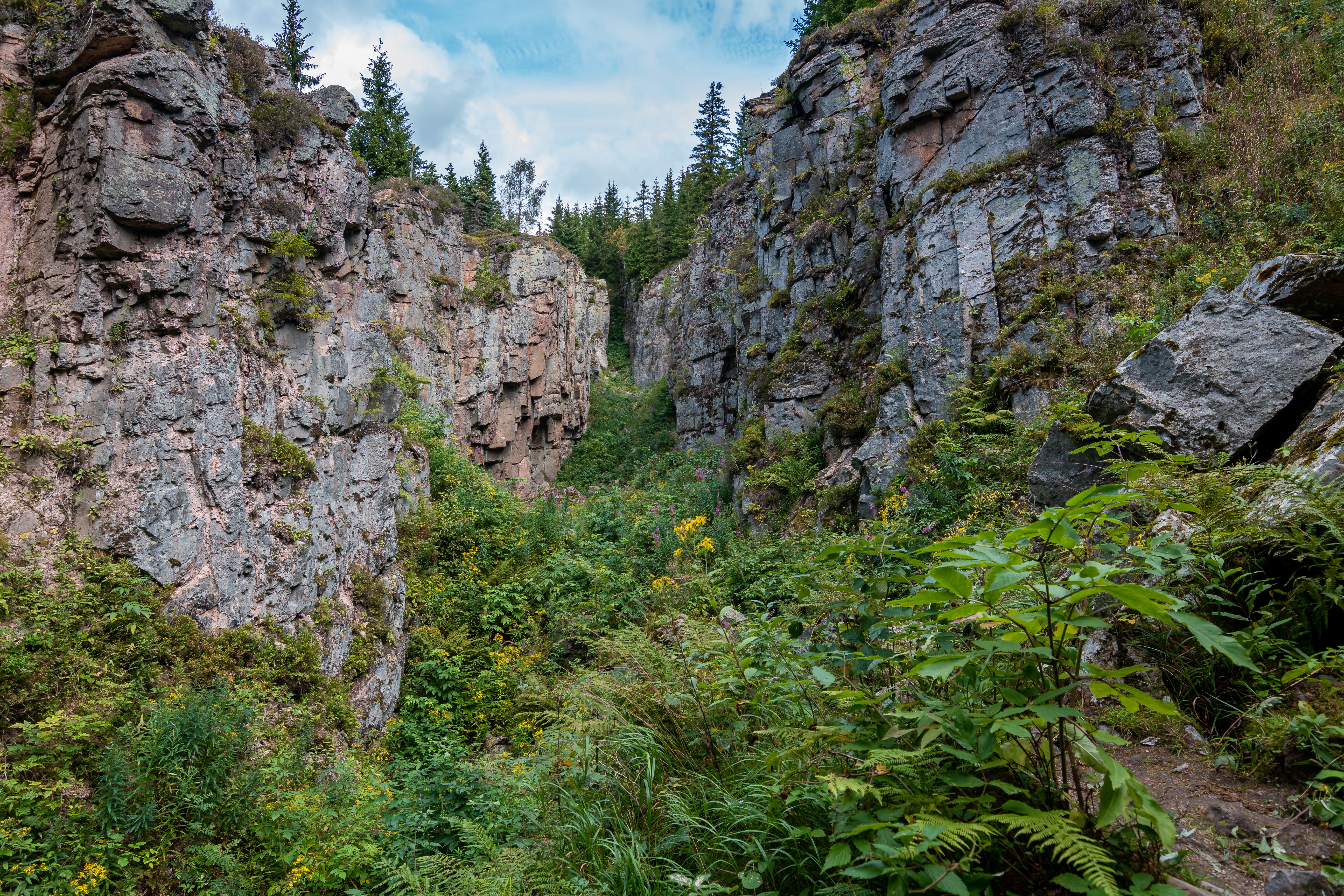
Trip detailHistoric mining depressions near Horní Blatná on a nature trail just under 5 km long.
The map shows the route from the hotel to the trip destination. Open it in Google Maps to adjust transport and stops along the way.
Vlčí jámy near Horní Blatná are not sandstone canyons but remains of historic tin mining. The Wolf Pit was formed by the collapse of the Wolfgang mine. Nearby, the Ice Pit is an approximately 15-metre-deep collapse of the Jiří mine where snow and ice may remain even during the warmer part of the year because of its special microclimate.
The two sites are connected by a circular nature trail from Horní Blatná measuring just under 5 km. Information panels, the Blatná water channel and an optional climb to the Blatenský vrch lookout tower are found along the route. The path runs through woodland and includes steeper sections, so sturdy footwear is recommended.
Please protect this natural monument: stay on the marked route and do not descend into the pits. Check current trail conditions and access with the local information centre before setting out.
The Krásná Lookout Tower is one of the most beautiful in the Czech Republic, a distinction it likely owes to its charming shape.
Trip detail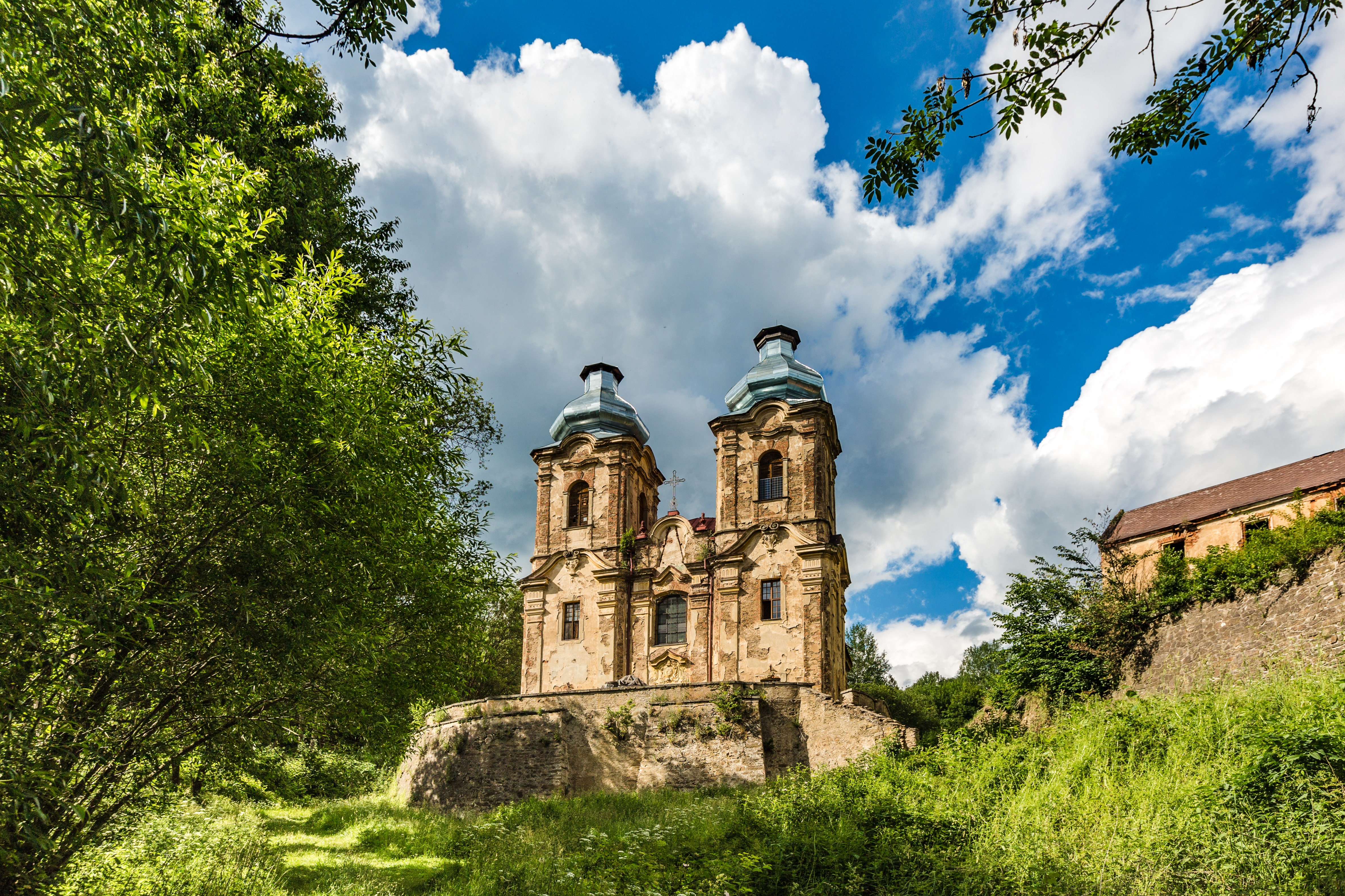
Do you like abandoned places?
Trip detail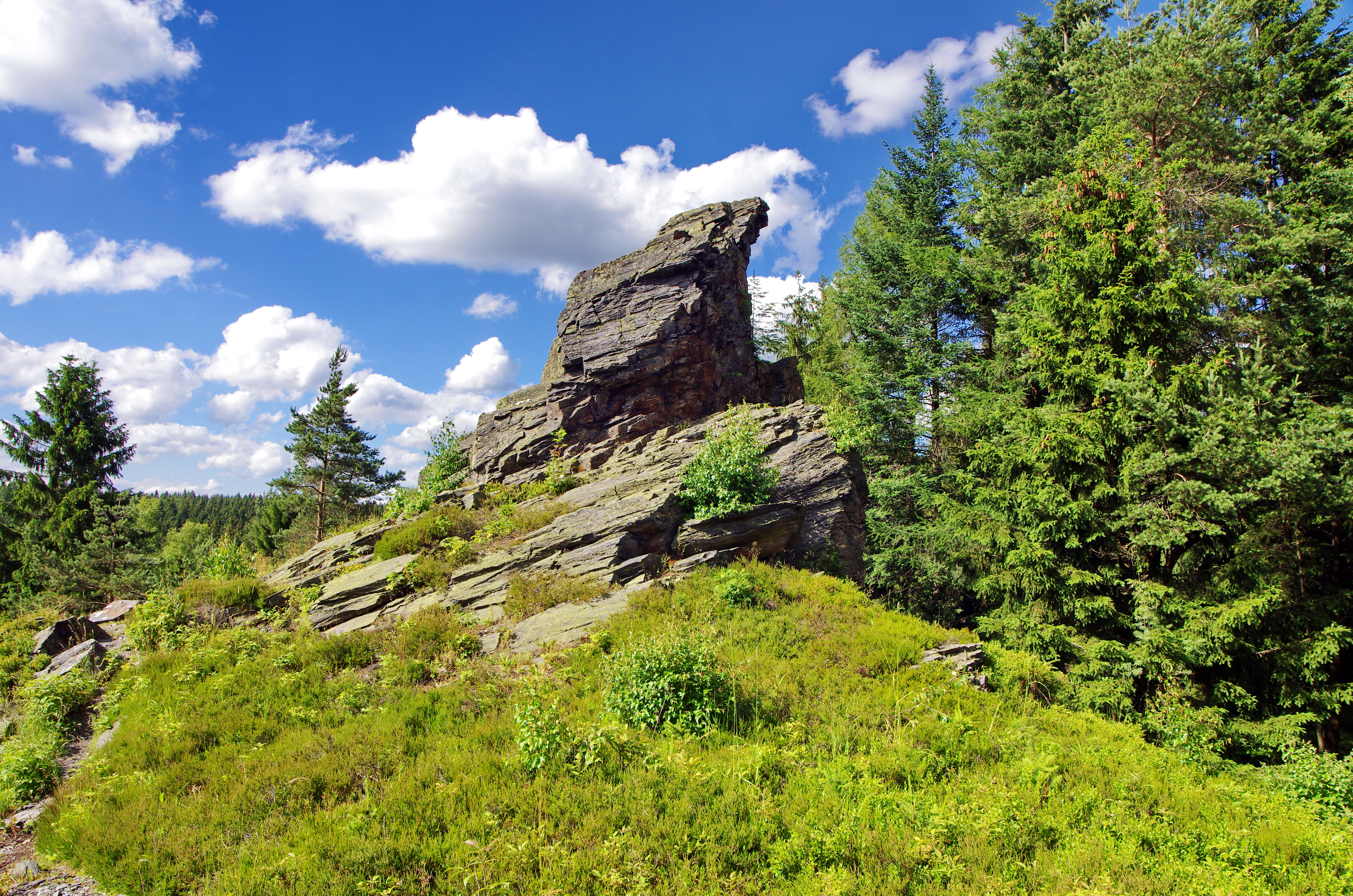
Quartzite rocks with a maintained viewpoint and panoramas across the Czech-German borderland.
Trip detail
An Empire-style spa and, just next door, bubbling mud volcanoes and peat marshes.
Trip detail